
About us
We believe in using real data to positively impact the real world.
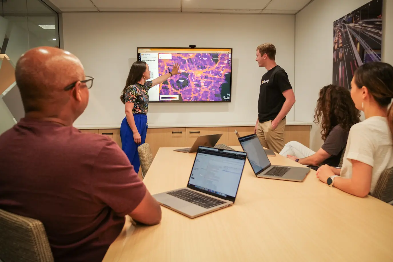
What is Planwisely?
Planwisely is a subscription-based geospatial analytics platform that's designed to give planners and policy-makers evidence-based insights into urban, regional and open space environments.
These insights can then be used to effectively guide decision making and deliver better outcomes for real people in cities and towns, public spaces and regional areas.

Built by experts
Planwisely is built and maintained by Veitch Lister Consulting (VLC). Founded in 1986, VLC is a multi-disciplinary advisory firm that specialises in transport planning, analytics and modelling, spatial analysis, policy and economics, data science and visualisation.
Using a data and evidence-led approach, VLC helps clients to make planning and policy decisions which support the creation of more liveable and connected communities.

See Planwisely in action

Make smarter geospatial decisions
Planwisely has a deep data library and intuitive map-based functionality that makes it perfect for all kinds of planners.

Want to get started with Planwisely?
Use powerful geospatial datasets to uncover insights, guide your decision-making process and deliver better outcomes for your project today.