How mobility data can transform parks and open space planning

July 24, 2023

Parks and open spaces can be challenging assets to analyse, but movement data and its unique attributes can make the task easy.

Understanding people’s travel patterns and where they spend their time are powerful advantages that open space and parks planners can leverage using mobility data.

Sometimes called People Movement Data or human movement data, it aggregates the travel data of millions of GPS-enabled device owners. This defining quality, which itself has a subset of benefits, makes it a highly impactful dataset for parks and open space planners.

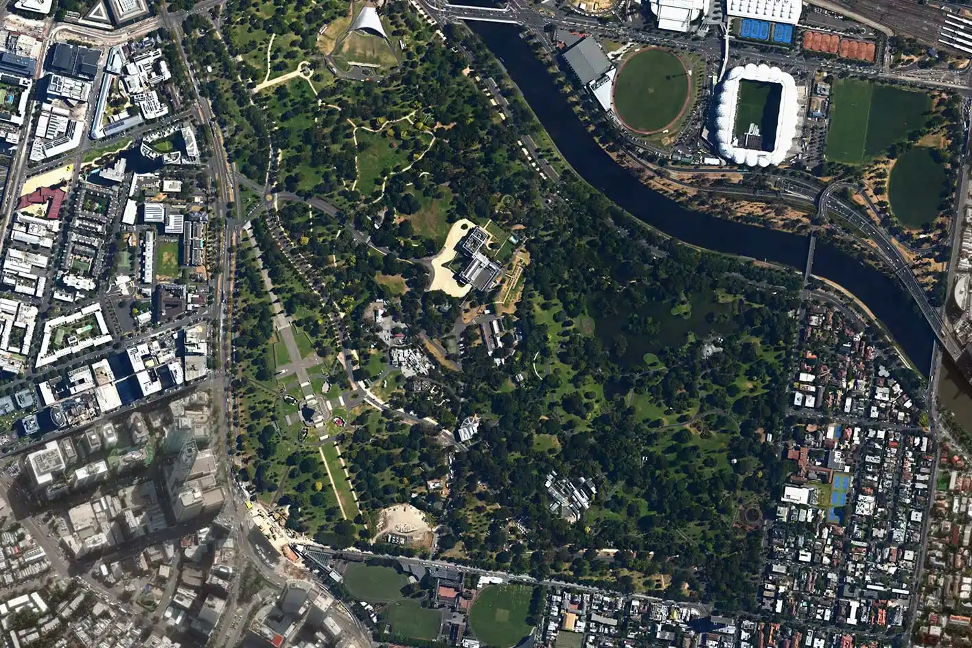
It’s spatially accurate

People Movement Data is gathered using Location Based Services of opt-in mobile devices, which means it’s using GPS data. Its high degree of spatial accuracy means that it’s possible to see, in detail, how an area is being utilised – and this level of precision is highly illustrative in places where people are free to roam (like parks and open spaces). With People Movement Data, it’s possible to identify detailed movement patterns and see exactly where people congregate.

Base mapActivityDwells
People Movement Data in Planwisely shows movement activity and dwells down to 20-metre blocks.

It solves the problem of being ‘open’

Parks and open spaces generally offer visitors easy access and space to move – benefits that also make assessing them difficult and can lead to planners ‘flying blind’ in their project planning and post-implementation analysis. For comparison’s sake, transport networks are more closed by their nature, which makes capturing data and its subsequent analysis easier. Without engaging in costly exercises like installing Bluetooth, WiFi or CCTV devices, planners can understand how well an asset is being used by analysing People Movement Data.

Capturing visitation data for open space assets has traditionally been a challenging and often costly exercise.

You can see visitation changes over time

Movement data is an aggregated time-bound dataset, which makes it possible to collate or isolate it to suit the period you want to investigate. This allows open space and parks planners to understand movement trends on a wide range of time scales – from the time of the day an asset gets used most all the way to how it’s performed over multiple years. This precision also allows planners to run comparisons and see how (and how well) an asset is being utilised in two distinct time periods, understand seasonal patterns, complete post-implementation analysis and more.

How we unlock the power of People Movement Data
Get access now

It shows you where visitors come from

In addition to showing you how people move once they’re in an open space or park, movement data can also help you ascertain where people came from to reach it. Having the ability to see how far people are travelling to reach your asset, and exactly which areas they’re travelling from, gives you a more concretised outline of who your typical visitor is and how attractive your asset is within the surrounding area.

Tracking visitation over time allows planners to identify trends and perform post-implementation analysis.

It’s global

People Movement Data is gathered by devices all over the world, which means it’s possible to analyse and get insights into any area where there is sufficient sample data. For open space and parks planners, this means it’s possible to investigate any number of similar or even ‘competing’ assets to assist in your analysis.

Want to get started with Planwisely?

Use powerful geospatial datasets to uncover insights, guide your decision-making process and deliver better outcomes for your project today.